Trails
For a robust look at Colorado Trails, check out Colorado Trail Explorer - COTREX
La Veta Trails
WAHATOYA STATE WILDLIFE AREA
The Wahatoya State Wildlife Area with its 203-acres offers two cold-water fishing lakes each with a one-mile hiking trail. Wahatoya Lake and Dairgre Reservoir are divided by County Road 358. In 2021, Colorado Parks and Wildlife (CPW) created a connector trail and installed a pedestrian crossing to improve access between the two lakes. The fishing lakes are stocked on a regular basis. Allowed activities include fishing with flies and lures only, hiking, and wildlife viewing. Biking and horses are not allowed activities in order not to disturb wildlife.
Please Note: A valid hunting or fishing license OR SWA pass is required for everyone 16 or older accessing most state wildlife areas.

Daigre Reservoir Trail
Length
Terrain
Difficulty
1 mile
Natural + Gravel
Easy - Moderate
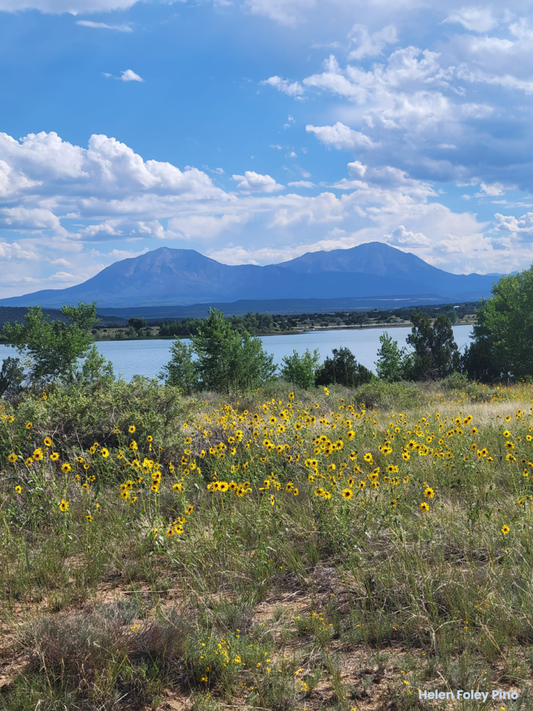
LATHROP STATE PARK
Lathrop State Park with its 1,460 acres offers seven miles of trails. The park offers two lakes for a variety of boating and angling opportunities, camping, a playground, picnic areas, educational programs, archery range, and a Visitor Center. Martin Lake offers water skiing, power and sail boating, and because it is a warm-water lake, it makes it great for swimmers. Horseshoe Lake is a peaceful haven for canoeists, kayakers, sailors and other boaters at wakeless speeds. Visitors can take advantage of the fantastic southern Spanish Peaks while playing a round of golf, or hiking along prairie trails.
Please note: state parks pass is required (day pass $10, annual vehicle pass $80) and dogs are not allowed on most of the trails. On select trails, dogs must be on a leash.
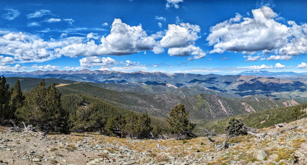
SAN ISABEL NATIONAL FOREST (SOUTH)
The Pike-San Isabel National Forests & Cimarron and Comanche National Grasslands covers nearly three million acres from western Kansas and Colorado’s highest mountain peaks along the Continental Divide. This landscape offers a variety of ecosystems rich in history, geology, scenery, wildlife habitat and recreation opportunities.
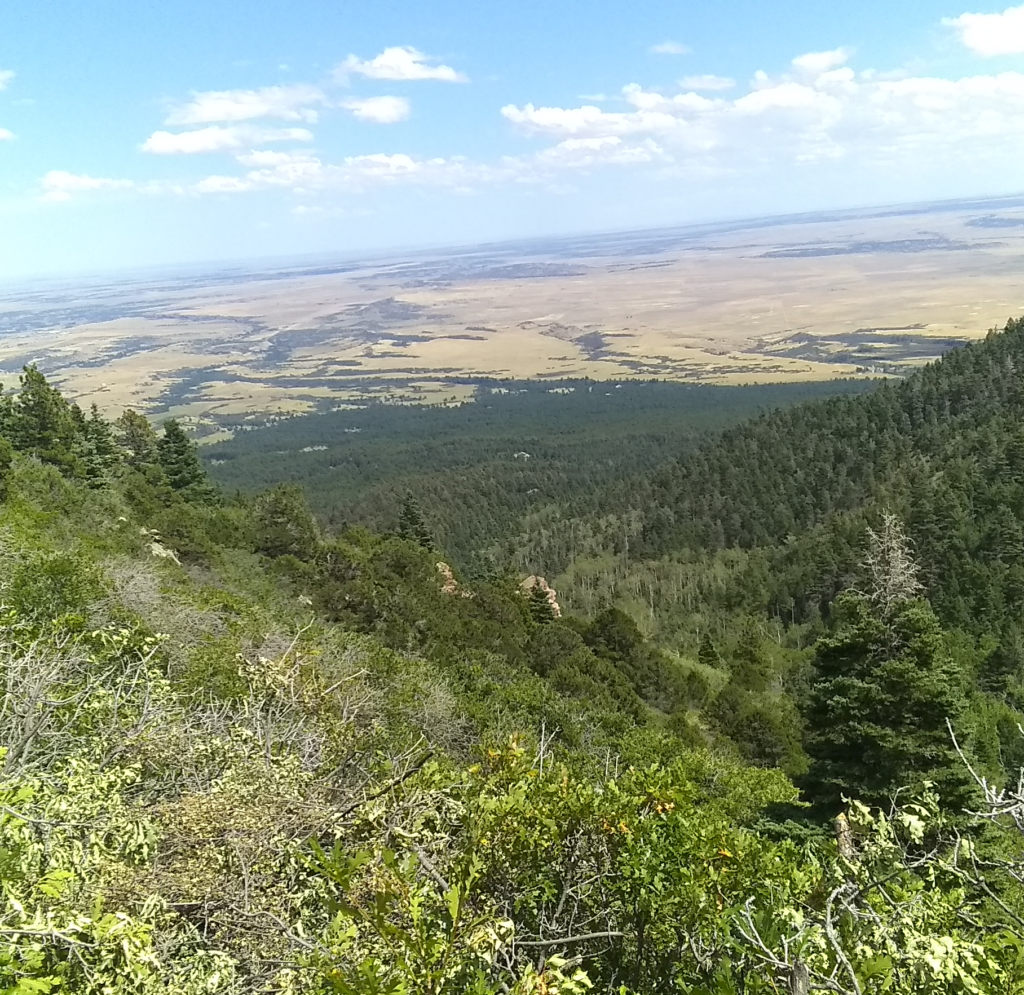
Spanish Peaks Wilderness Area
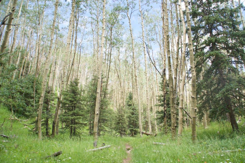
The Spanish Peaks Wilderness Area (SPWA) is a federally designated wilderness, consisting of 19,226 acres and 33 miles of trails, managed by the U.S. Forest Service/San Carlos Ranger District (USFS/SCRD) through its field office in La Veta. The secluded trails provide access to the West Peak at 13,623 feet and the East Peak at 12,708 feet. Wilderness trails are non-motorized which means motorized equipment and equipment used for mechanical transport are prohibited. This includes the use of ATVs and bicycles. Allowed uses include hiking, primitive camping (with a permit), horseback riding, wildlife viewing, and photography. This pristine environment attracts locals and visitors looking for an experience in nature far from crowds.
West Peak Trail #1390
Length
Terrain
Difficulty
2.5 Miles
Natural + Loose Rock
Difficult
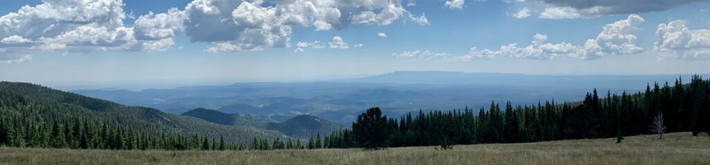
GREENHORN MOUNTAIN WILDERNESS AREA
The Greenhorn Mountain Wilderness Area (GMWA) was designated by Congress in 1993, and it now has a total of 23,087 acres and 11 miles of trails managed by the U.S. Forest Service/San Carlos Ranger District (USFS/SCRD). Wilderness trails are non-motorized which means motorized equipment and equipment used for mechanical transport are prohibited. This includes the use of ATVs and bicycles. This pristine environment attracts locals and visitors looking for an experience in nature far from crowds.