North Fork Trail #1309
San Isabel National Forest
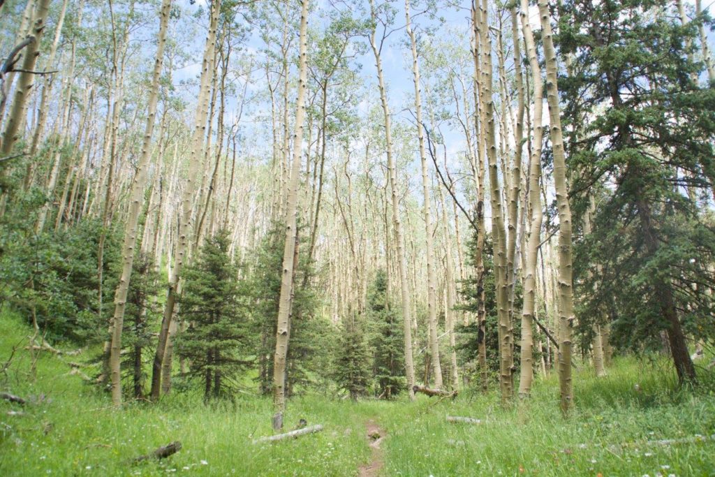
This trail follows the North Fork of the Purgatoire River headwaters. The trail has two trailheads. The lowest point on this trail is 9,800′ and climbs to 11,400′.
Managed by the San Isabel National Forest, San Carlos Ranger District.
Location:
- From La Veta take CO Highway 12 for 27 miles south to County Road 34; then four miles to south trailhead at Purgatoire campground. Restroom available.
- North Trailhead: This one is located on Forest Road 436 near Blue Lake Campground.
Maps and information can be found at the San Isabel National Forest La Veta Work Center:
103 E. Field St.,
La Veta, CO 81055
(719) 742-3681
Alternatively, contact the San Carlos Ranger District Office in Canon City at (719) 269-8500.

Trail at a Glance
Length
4.5 miles
Terrain
Natural
Difficulty
Easy
Trail Details
South Trailhead: From La Veta take CO Highway 12 for 27 miles south to County Road 34; then four miles to south trailhead at Purgatoire campground. Restroom available.
North Trailhead: This one is located on Forest Road 436 near Blue Lake Campground.
Maps and information can be found at the San Isabel National Forest La Veta Work Center:
103 E. Field St.,
La Veta, CO 81055
(719) 742-3681
Alternatively, contact the San Carlos Ranger District Office in Canon City at (719) 269-8500.
- Hiking
- Walking
- Horseback Riding
- Mountain biking
- Cross Country Skiing
- Restrooms
- The Wildcat Trail #1312
- Coal Creek Trail #1394
- BOTH #1312 + #1394 meander off the North Fork Trail and are seldom used because they dead end on private property and lack of trail definition.
Dogs are not required to be leashed but must be under control at all times for protection of wildlife.
