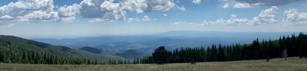
La Veta Trails serves the stewardship needs of Huerfano and Las Animas counties, located in the Spanish Peaks region of the Southern Front Range. The area covers 186,156 acres of public land with four watersheds, 100+ miles of multi-use trails, and numerous parks that provide recreation and ecological amenities. Working in partnership with land management agencies, La Veta Trails executes programs and projects that improve wildlife habitat, address the impact of recreational use, restore open spaces, mitigate wildfire, and educate volunteers and community members on relevant ecological topics.
History
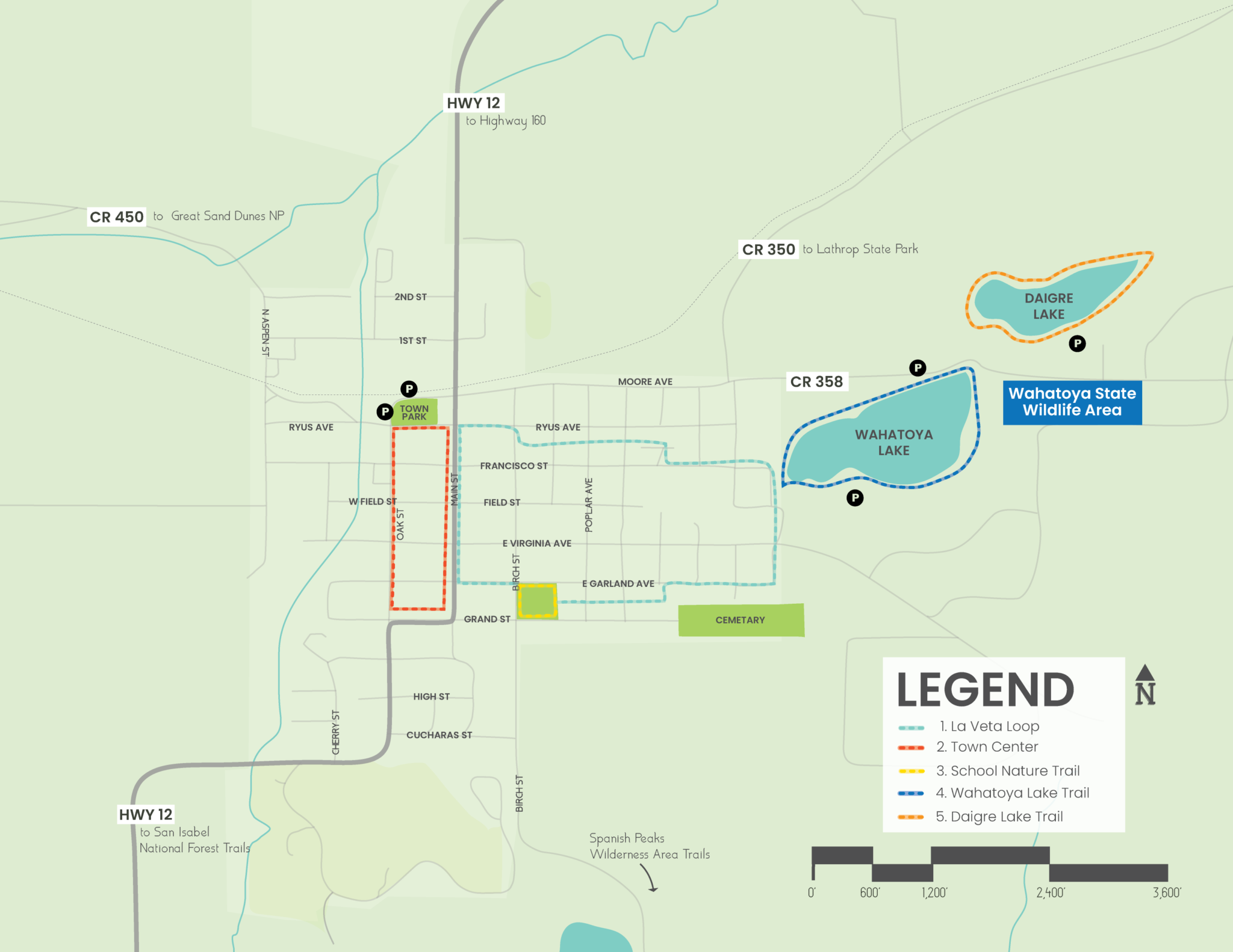
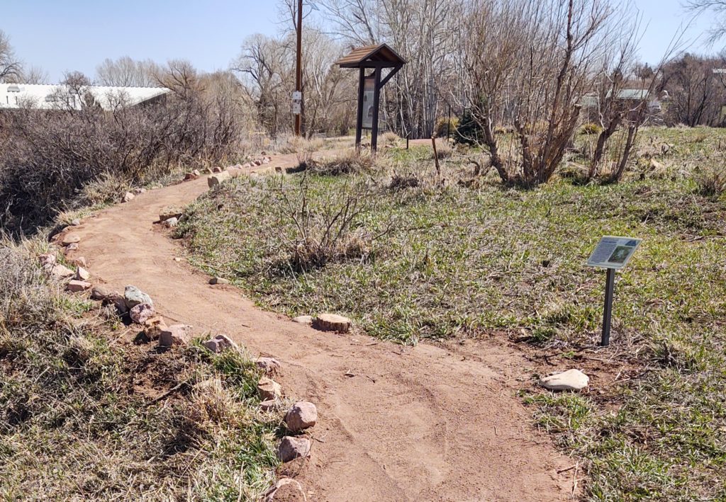
La Veta Trails was established in 2015 to build a community-based parks, open space, and trails system for people of all ages and abilities. LVT adopted 2.25 miles of neglected trail that served as the foundation of the system. Today, the system consists of 6.25 miles that connect parks and open spaces, with the Cucharas River Trail planned for construction in 2023-2024.
We use cookies to ensure that we give you the best experience on our website. If you continue to use this site we will assume that you are happy with it.