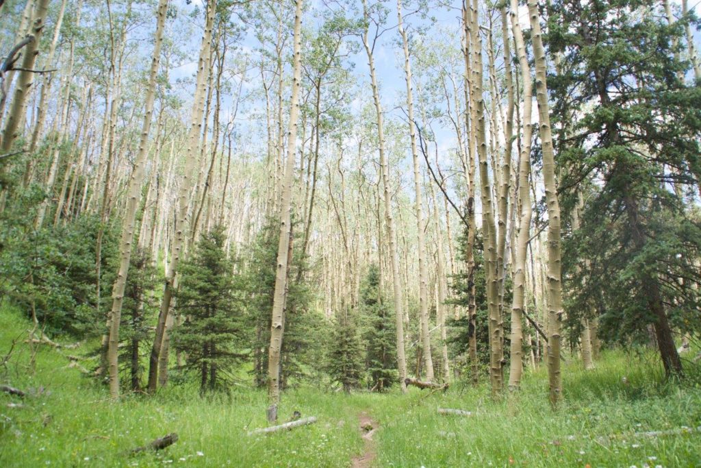
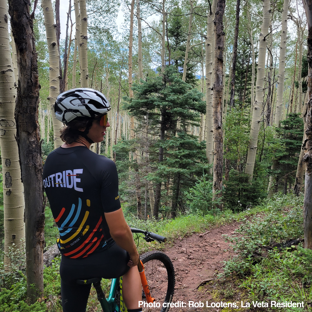
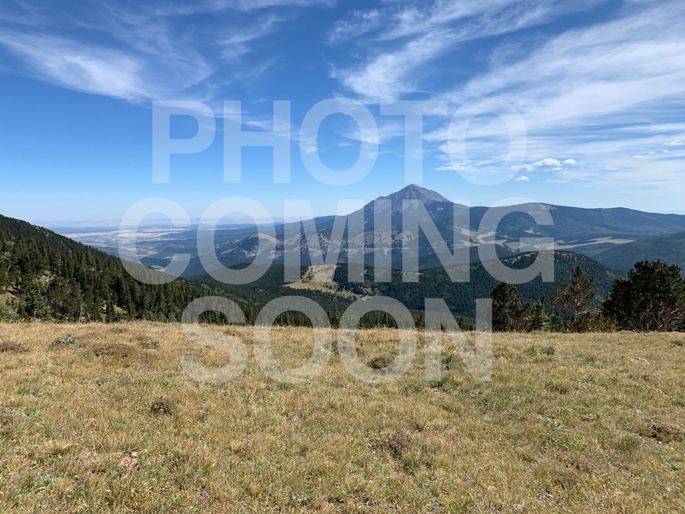
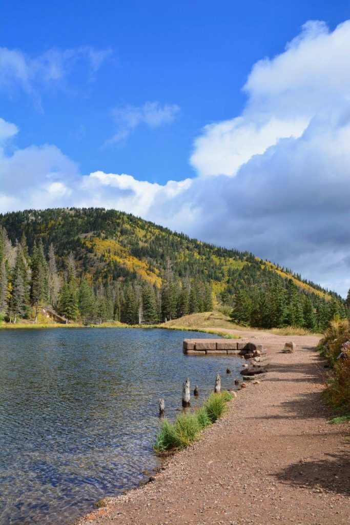
Location: Access to the San Isabel National (south) is via CO Hwy 12, the Highway of Legends. See the directions to trailheads in the trail links.
The Pike-San Isabel National Forests & Cimarron and Comanche National Grasslands covers nearly three million acres from western Kansas and Colorado’s highest mountain peaks along the Continental Divide. This landscape offers a variety of ecosystems rich in history, geology, scenery, wildlife habitat and recreation opportunities.
History
The creation of Forest Reserves was an attempt to control the damage caused by unchecked fires, uncontrolled and wasteful timber cutting, and excessive grazing on public domain. It was as an important step toward protecting the public timber lands from waste and destruction. The land that eventually became the Pike National Forest was among the earliest set aside. Presidential proclamations in 1892 established the Pikes Peak Timberland Reserve.
We use cookies to ensure that we give you the best experience on our website. If you continue to use this site we will assume that you are happy with it.Ok