Two Trailheads:
- North End of the Trail: From La Veta take state CO Highway 12 to Cuchara, turn left at the Cuchara Chapel (Oak St), follow road (3/4 mile) to trailhead and parking lot. This is the access to the “north” end of the trail.
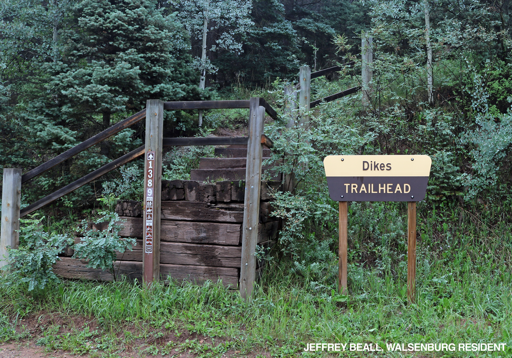
- South End of the Trail: There is another trailhead on the south end on Park Road.
Maps and information can be found at the San Isabel National Forest La Veta Work Center:
103 E. Field St.,
La Veta, CO 81055
(719) 742-3681
Alternatively, contact the San Carlos Ranger District Office in Canon City at (719) 269-8500.
Dogs must be on a leash, or under voice control.