Bartlett Trail #1310
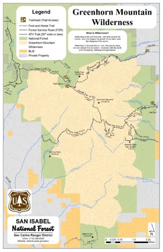
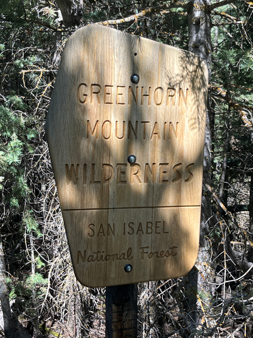
Greenhorn Mountain Wilderness | San Isabel National Forest
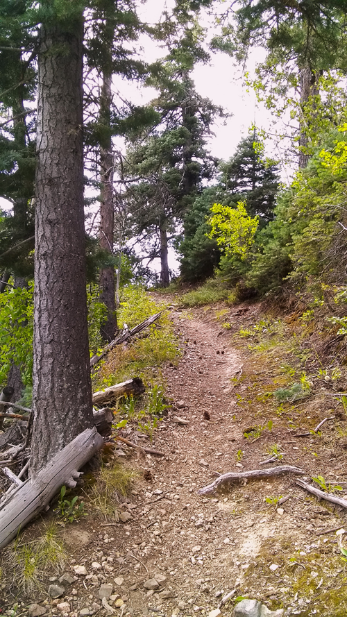
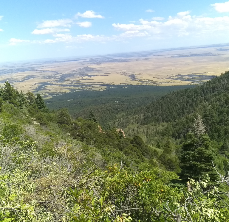
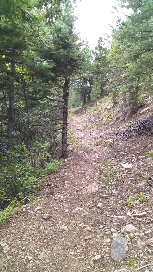
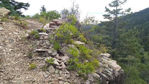
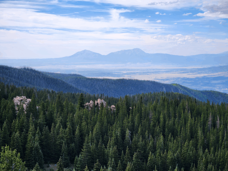
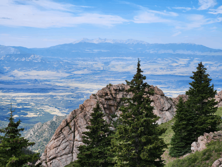
The Bartlett Trail #1310 offers beautiful views of the eastern plains and the Spanish Peaks and Sangre de Cristo Mountain Range to the south.
The Greenhorn Mountain Wilderness Area is a part of the San Isabel National Forest, San Carlos Ranger District.
Location:
East trailhead is located near the town of Rye, Colorado Southwest of State Highway 165. Head West through the town of Rye on Main Street, then left on Boulder, then left on Graneros road, right on Hunter, then right on Baxter.
Northwest trailhead is located off Forest Service Road #369. From Rye, Colorado head north on State highway 165 to Ophir Creek Forest Service Road #360. Travel on Forest Service Road #360 for 12 miles, then go left on Greenhorn Road/Forest Service Road and travel to the end which is about 17 miles.
Trail at a Glance
Length
10.4 miles
Terrain
Natural
Difficulty
Difficult
Trail Details
East trailhead is located near the town of Rye, Colorado Southwest of State Highway 165. Head West through the town of Rye on Main Street, then left on Boulder, then left on Graneros road, right on Hunter, then right on Baxter.
Northwest trailhead is located off Forest Service Road #369. From Rye, Colorado head north on State highway 165 to Ophir Creek Forest Service Road #360. Travel on Forest Service Road #360 for 12 miles, then go left on Greenhorn Road/Forest Service Road and travel to the end which is about 17 miles.
Maps and information can be found at the San Isabel National Forest La Veta Work Center:
U.S. Forest Service Office
San Carlos Ranger District – La Veta Work Center
103 E. Field St., La Veta, CO 81055
(719) 742-3681 www.fs.usda.gov/recmain/psicc/recreation
The office typically is open year-round.
Tuesday thru Saturday, 8:00 am to 5:00 pm.
Please call ahead to make sure the office is open.
Alternatively, contact the San Carlos Ranger District Office in Canon City at
3028 East Main Street
Canon City, CO 81212
Phone: 719-269-8500
Office Hours: Monday – Friday 8:00am – 4:30pm
Hiking
Horseback riding
Wildlife viewing
Photography.
- Greenhorn Trail #1316
- South Apache Trail #1311.
Dogs must be on a leash, or under voice control.
