West Peak Trail #1390
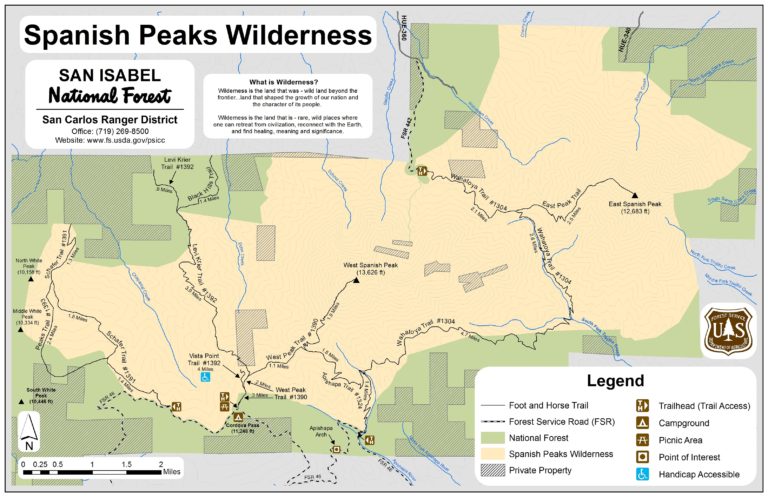
Spanish Peaks Wilderness | San Isabel National Forest
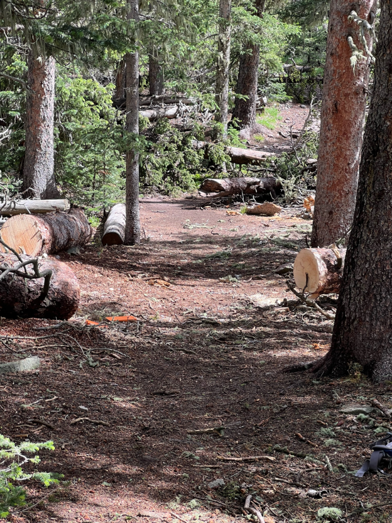
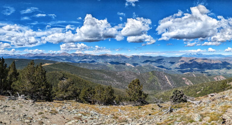
This trail offers views of Cuchara Valley and north to the Greenhorn Mountain and the Wet Mountain Valley. The Culebra Range is viewed to the West and South. The trailhead starts at 11,248′ and summits at 13,600′ (Elevation Gain 2,352).
The Spanish Peaks Wilderness Area is a part of the San Isabel National Forest, San Carlos Ranger District.
Location: From La Veta take CO Highway 12 to Cucharas Pass, turn Left on County Rd. 46 and continue on dirt rd. for 6 mi. to the Cordova Pass Summit and trailhead to West Peak. Then hike 2 mi. to timber line and from there it is another 3/4 mile to the summit of West Peak.
Maps and information can be found at the San Isabel National Forest La Veta Work Center:
103 E. Field St.,
La Veta, CO 81055
(719) 742-3681
Alternatively, contact the San Carlos Ranger District Office in Canon City at (719) 269-8500.
Trail at a Glance
Length
2.5 miles
Terrain
Natural + LOOSE ROCK
Difficulty
Difficult
Trail Details
From La Veta take CO Highway 12 to Cucharas Pass, turn Left on County Rd. 46 and continue on dirt rd. for 6 mi. to the Cordova Pass Summit and trailhead to West Peak. Then hike 2 mi. to timber line and from there it is another 3/4 mile to the summit of West Peak.
Maps and information can be found at the San Isabel National Forest La Veta Work Center:
103 E. Field St.,
La Veta, CO 81055
(719) 742-3681
Alternatively, contact the San Carlos Ranger District Office in Canon City at (719) 269-8500.
- Hiking
- Walking
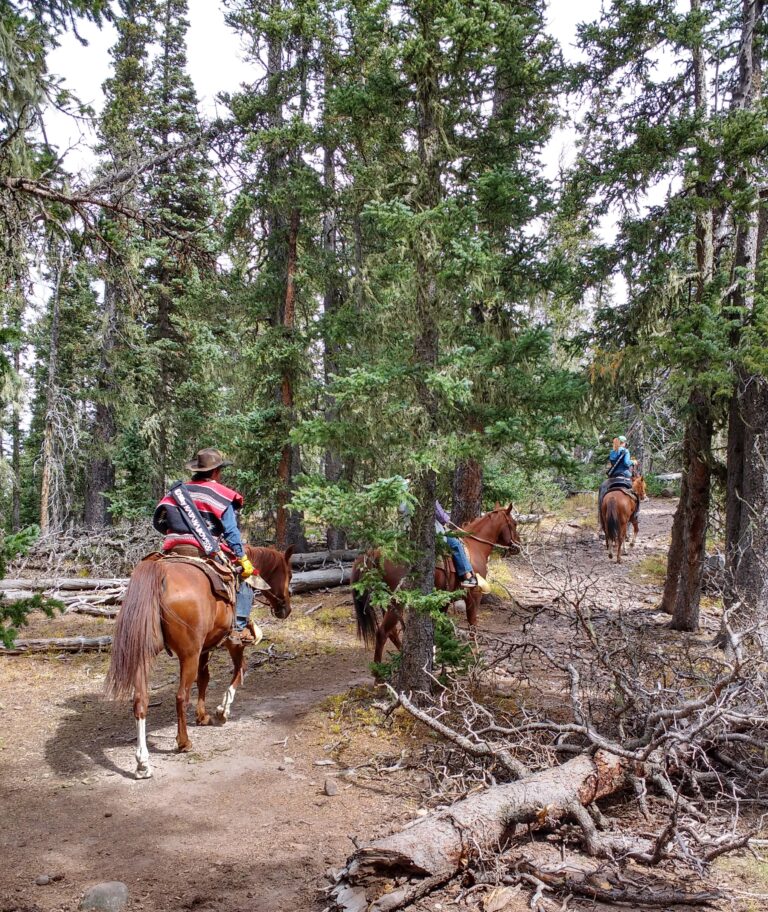
- Horseback Riding
- Cross Country Skiing
- Restrooms
- Levy-Krier #1392
- Apishapa #1324
- Salazar Trail #1390a to Vista Point.
Dogs must be on a leash, or under voice control.
