About the Cucharas River Trail Project
The Cucharas River Trail is a joint project between the Town of La Veta and La Veta Trails to create public access to the river through a trail connecting town-owned open spaces which will be developed and along town right-of-way and designed to support bicycling and walking at different interest levels to appeal to a broad spectrum of ages, abilities and users. The design will include trailhead parking, riverfront open spaces, a crosswalk, new trail construction, trail and interpretative signs, ecosystems, benches, picnic tables, landscaping, fencing, and a bike/pedestrian bridge. When complete, Phase 1will add 1.5-miles of multi-use trails to La Veta’s community-based system of parks, open space and trails; provide direct access to the river; promote outdoor recreation; increase community health; and benefit the local economy.
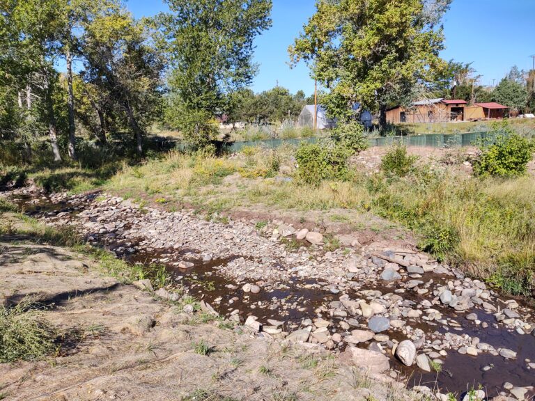
Since 2001, a footpath/trail along the Cucharas River has been identified by the community as a priority need. During the community input process for the 2019 La Veta Parks, Open Space Master Plan, funded by a Colorado Parks and Wildlife planning grant, river access, trails and trail connectivity were the top three most needed amenities. Survey respondents indicated walking (88%) and biking (57%) as their primary summer activities and walking (79%) as their primary winter activity. Loop trails (85%) and river access (68%) were their top two needs in the summer and snowshoe trails (54%) were the number two winter need (after sledding).
GET THE LATEST ON THE CUCHARAS RIVER TRAIL PHASE 1 PROJECT
Stay up to date on developments on the trail, including public meetings and design updates, by signing up for our monthly eNewsletter.
Click HereSUPPORT CUCHARAS RIVER TRAIL PHASE 1 PROJECT
Our vision for the Cucharas River Trail needs your help to become a reality. Support our project with a donation today!
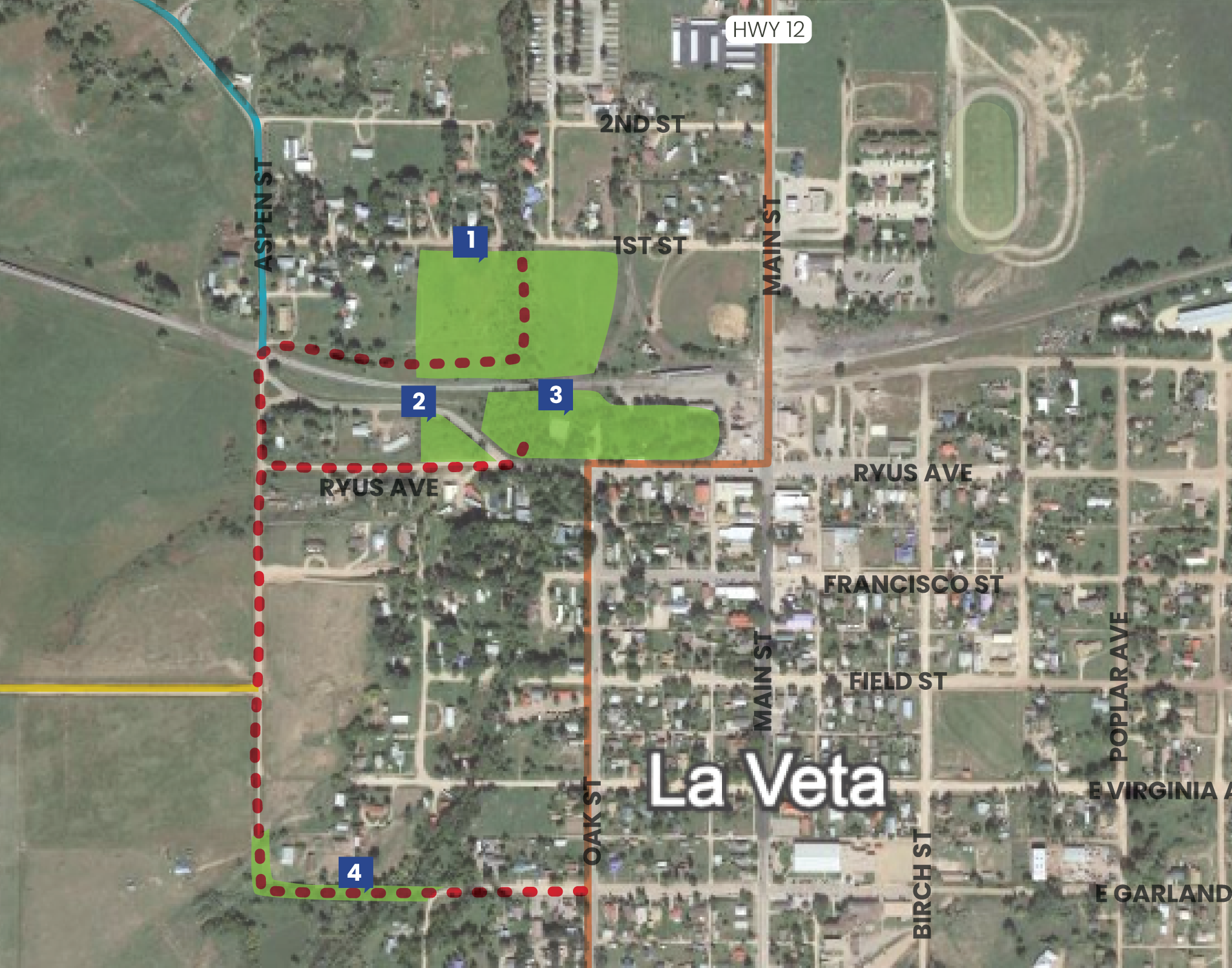
ADDING FOUR NEW PUBLIC SPACES TO THE TRAIL SYSTEM
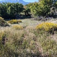
First Street Riverfront Open Space
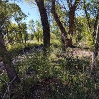
The Town owns 5.5 acres of open space on the northside of the railroad tracks with about 475 feel ol riverfront on the east and west banks. While this open space has been leased to a single family for many years, the Town will transition the property for recreational use by the community in 2022, as the property was intended when the Town purchased it from the railroad in the 1980s.
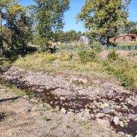
Ryus Bridge Riverfront Open Space
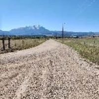
The Town owns 2 acres of open space on the southside of the railroad tracks that includes 250 feet of riverfront on the east and west banks. The property includes ¾ of an acre of open space on the west side and about 1 ¼ acre on the east side. Ln addition, the Town owns 1 acre of open space on W. Ryus Ave. point and hill at the site of the historic railroad water tank which offers a scenic view of the mountains to the north and west, and the Town to the east.
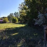
Aspen Street Prairie Open Space
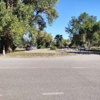
Aspen St. is a public way that marks the west-side boundary of the Town. The street at 40 feet wide is not a standard width.
Garland St. River Open Space
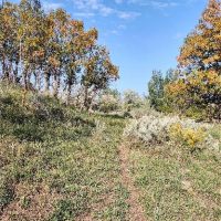
W. Garland St., between Aspen and the west side of Cucharas River, has not been and will not be developed for vehicle traffic.
Progress
- 2019
- 2020
- 2021
- 2022
- The La Veta Parks, Open Space, and Trails Master Plan is completed with the Cucharas River Trail identified as the number one priority.
- The Town Board of Trustees adopted the La Veta Parks, Open Space, and Trails Master Plan.
- On September 1, 2020, the Town Board of Trustees approved Resolution #10-20 to apply for a construction grant from the Colorado Parks and Wildlife State Recreational Trails Grants Program.
- La Veta Trails raised $11,395 in individual and business donations to demonstrate community support for the construction of the trail and matching funds for the grant.
- On October 21, 2022, the Town of La Veta adopted the La Veta Parks, Open Space, and Trails Master Plan. La Veta Parks, Open Spaces and Trails Master Plan – Town of La Veta (townoflaveta-co.gov)
- On February, 7, 2022, La Veta Trails met with the Town Trustees in a workshop session to discuss project options, including the Cucharas River Trail.
- The La Veta Trails 2022 Seasonal Maintenance Plan includes clean-up of the four open spaces.
Project Gallery
A Project of
