Wahatoya Trail #1304
Spanish Peaks Wilderness | San Isabel National Forest
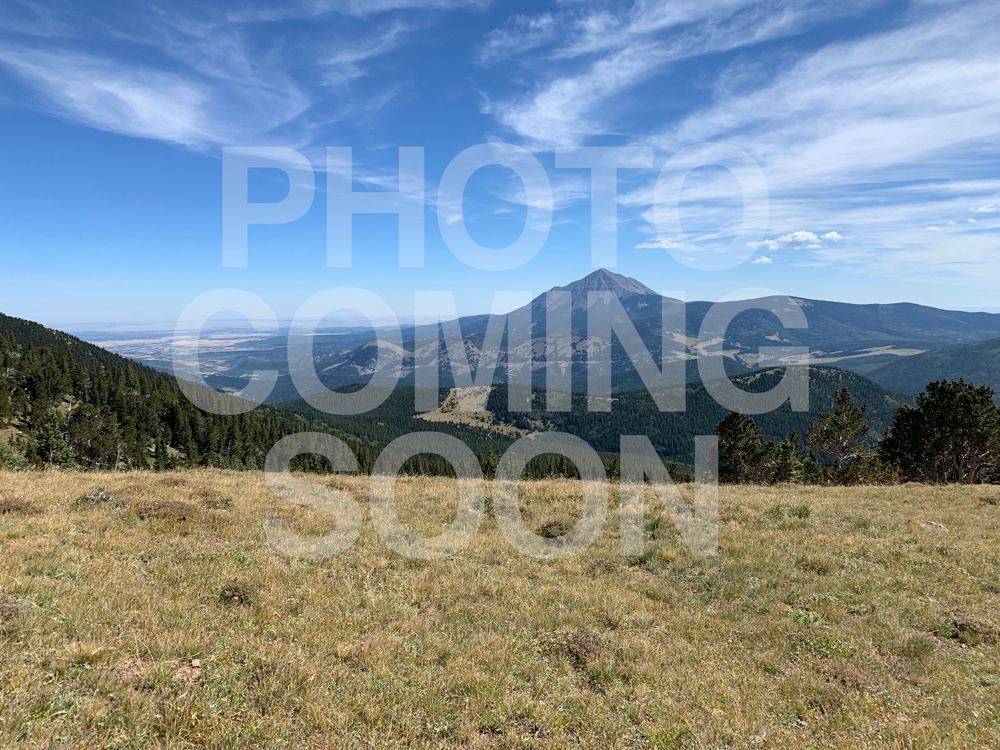
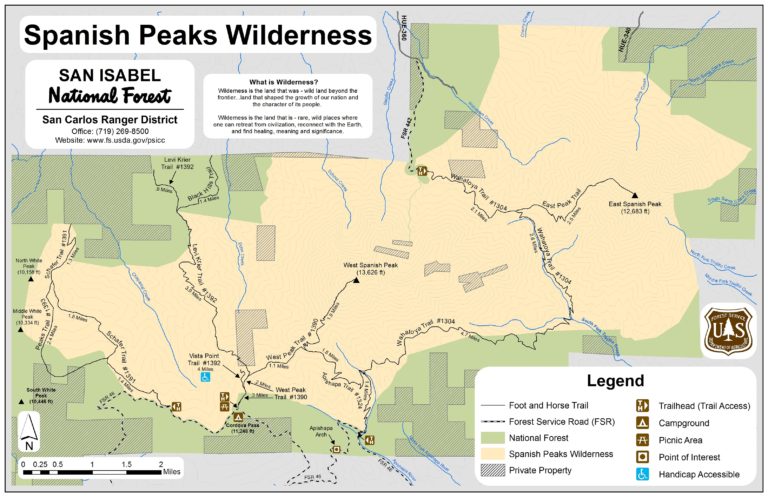
The trail crosses the saddle between West Spanish Peak and East Spanish Peak. It offers splendid views of the plains to the north, Wet Mountains and Greenhorn Mountains. The trailhead is at 8,400′ and summit is 9.800′.
The Spanish Peaks Wilderness Area is a part of the San Isabel National Forest, San Carlos Ranger District.
Location: From La Veta take CO Highway 12 to County Road 360, drive six miles to the intersection with Forest Service Rd. 442. High clearance 4WD is needed Forest Service Road #442 to drive the last two miles to the Wahatoya Trailhead.
Maps and information can be found at the San Isabel National Forest La Veta Work Center:
103 E. Field St.,
La Veta, CO 81055
(719) 742-3681
Alternatively, contact the San Carlos Ranger District Office in Canon City at (719) 269-8500.

Trail at a Glance
Length
14 miles
Terrain
Natural
Difficulty
Difficult
Trail Details
From La Veta take CO Highway 12 to County Road 360, drive six miles to the intersection with Forest Service Rd. 442. High clearance 4WD is needed Forest Service Road #442 to drive the last two miles to the Wahatoya Trailhead.
Maps and information can be found at the San Isabel National Forest La Veta Work Center:
103 E. Field St.,
La Veta, CO 81055
(719) 742-3681
Alternatively, contact the San Carlos Ranger District Office in Canon City at (719) 269-8500.
- Hiking
- Walking
- Horseback Riding
- Cross Country Skiing
Dogs must be on a leash, or under voice control.

