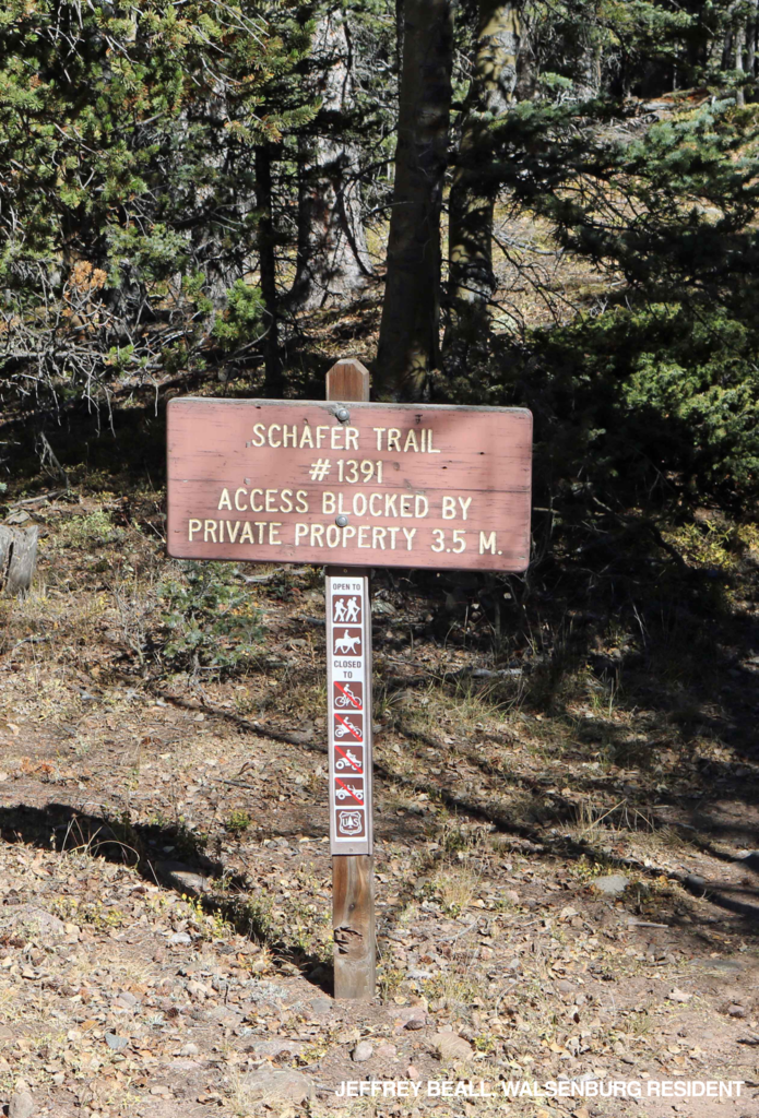
Schafer Trail #1391
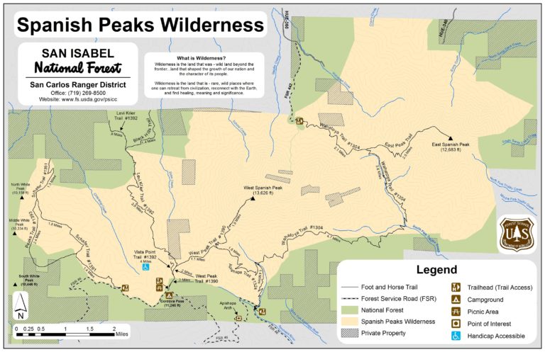
Spanish Peaks Wilderness | San Isabel National Forest
Formerly Chaparral Trail
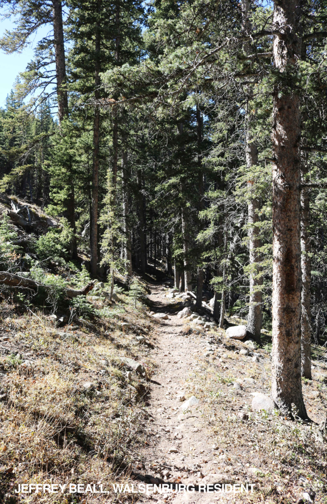
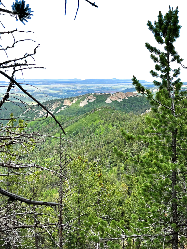
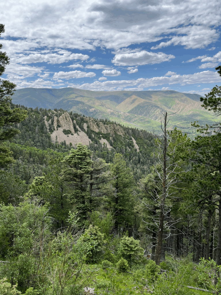
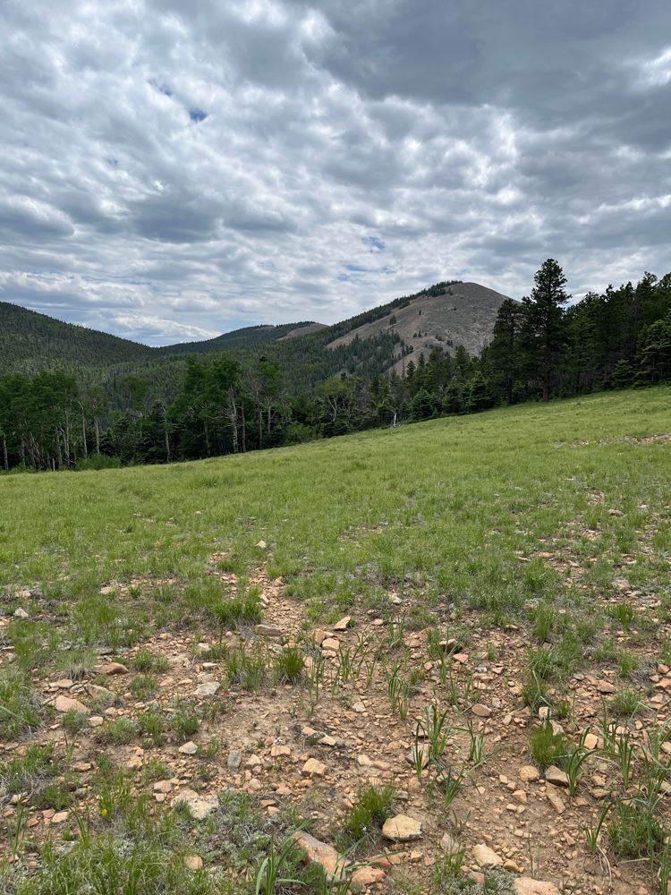
This trail offers views of White Peaks and Cuchara Valley. The trail ends at private property. Return to County Rd. #46. Trail is at 11,900′ elevation.
The Spanish Peaks Wilderness Area is a part of the San Isabel National Forest, San Carlos Ranger District.
Location: Take CO Highway 12 south to Cucharas Pass. Turn left onto County Road #46, travel for 4 miles to Chaparral trailhead on left side of road.
Maps and information can be found at the San Isabel National Forest La Veta Work Center:
103 E. Field St.,
La Veta, CO 81055
(719) 742-3681
Alternatively, contact the San Carlos Ranger District Office in Canon City at (719) 269-8500.
Trail at a Glance
Length
3.5 miles
Terrain
Natural
Difficulty
Easy
Trail Details
Take CO Highway 12 south to Cucharas Pass. Turn left onto County Road #46, travel for 4 miles to Chaparral trailhead on left side of road.
Maps and information can be found at the San Isabel National Forest La Veta Work Center:
103 E. Field St.,
La Veta, CO 81055
(719) 742-3681
Alternatively, contact the San Carlos Ranger District Office in Canon City at (719) 269-8500.
- Hiking
- Walking
- Horseback Riding
- Cross Country Skiing
Dogs must be on a leash, or under voice control.
